CLIENT EXPERIENCE
Decision-Grade Geospatial Work Across Industries
GeoPockets has supported public agencies, conservation organizations, infrastructure operators, and real-asset decision makers where spatial analysis must be technically rigorous, operationally useful, and defensible to stakeholders.
One spatial systems discipline, applied across complex real-world decision environments.
Planning Consultants
Infrastructure Planners
Real Estate Analysts
Conservation Organizations
Policy Makers
Watershed Groups
Trail Association
Outdoor Recreation Groups
Community Association Managers
Business Professionals
Real Estate Developers
Economic Developers

“Their spatial analysis helped us map trail conditions and visitor impact with a level of precision we hadn't seen before. The team translated complex geodata into clear, actionable insights for our on-the-ground work.”
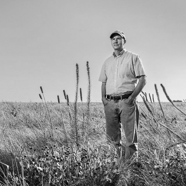
“GeoPockets brought a caliber of geospatial rigor that matched TNC's conservation science standards. Their consultants understood both the data and the mission from day one.”

“They connected ecological datasets we didn't know could talk to each other and built an analysis that immediately informed our network strategy. Rare to find a team this fluent in both GIS and stakeholder communication.”
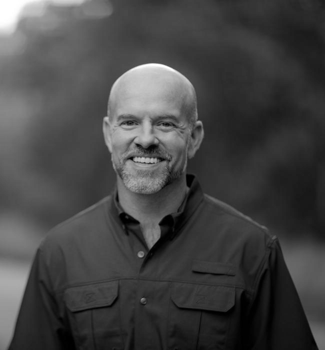
“Their land suitability models gave us the spatial clarity we needed to prioritize acquisitions across a complex, fragmented landscape. The analysis was thorough, defensible, and delivered on time.”
“GeoPockets delivered engineering-grade spatial analysis while keeping it accessible to non-technical stakeholders. Their work held up to our review process and meaningfully advanced the project.”

“They bridged the gap between design intent and geographic reality in a way few consultants can. Our deliverables were stronger because of the spatial layer they brought to the process.”
“Their corridor analysis was exactly what we needed to make the case for our service expansion. GeoPockets combined local spatial knowledge with professional-grade modeling to back every recommendation.”
“Their spatial analysis helped us map trail conditions and visitor impact with a level of precision we hadn't seen before. The team translated complex geodata into clear, actionable insights for our on-the-ground work.”
“GeoPockets brought a caliber of geospatial rigor that matched TNC's conservation science standards. Their consultants understood both the data and the mission from day one.”
“They connected ecological datasets we didn't know could talk to each other and built an analysis that immediately informed our network strategy. Rare to find a team this fluent in both GIS and stakeholder communication.”
“Their land suitability models gave us the spatial clarity we needed to prioritize acquisitions across a complex, fragmented landscape. The analysis was thorough, defensible, and delivered on time.”
“GeoPockets delivered engineering-grade spatial analysis while keeping it accessible to non-technical stakeholders. Their work held up to our review process and meaningfully advanced the project.”
“They bridged the gap between design intent and geographic reality in a way few consultants can. Our deliverables were stronger because of the spatial layer they brought to the process.”
“Their corridor analysis was exactly what we needed to make the case for our service expansion. GeoPockets combined local spatial knowledge with professional-grade modeling to back every recommendation.”
Find the Most Relevant Case Study for Your Project
Tell us about your project—sector, geography, or the decision you're facing—and we'll surface the GeoPockets engagement most like yours. This interactive case study finder is coming soon.