GeoPocketsTM
Decisions, Made Spatial.
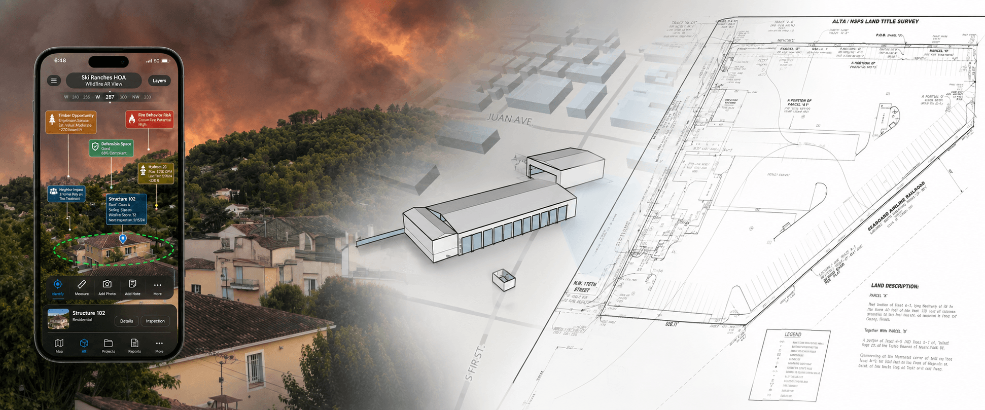
Decision Infrastructure for High Stakes Land-Use Investments
GeoPockets brings the power of AI to Land-Use Investment Due-Dilligence
We've designed and built spatial decision infrastructure for 20+ years. Critical evidence about place is routinely fragmented across spatial layers, zoning codes, PDFs, environmental models, and institutional memory.
We help determine where to invest, what a site can support, what stands in the way, and what needs to happen next. We host workspaces online that organize and reason over your evidence to enable faster, more defensible capital allocation.
Move the Investment Committee to Action in Days Not Months
We partner with acquisition leads, asset managers, and development executives across sectors where site-specific conditions govern project viability where capital risk is irreversible:
- Commercial & Infill Real Estate: Site selection, zoning discovery, and parcel assemblage.
- Energy & Industrial Infrastructure: Power capacity screening, corridor routing, and siting.
- Data Centers & High-Density Power: Land suitability, hazard exposure, and grid proximity.
- Public Agencies & Conservation Finance: Multi-agency land allocation, wildfire risk, and watershed governance.
Decision-support for the Capital Execution Loop
GeoPocketsTM helps place-based enterprises make land-use investment decisions by turning spatial, regulatory, environmental, and operational evidence into decision-ready deliverables.
Should we acquire it? → Can we develop it? → What can we build? → What must be mitigated? → What will approval require? → What will it cost? → What evidence is missing? → Has the property changed enough to reduce risk? → Should we release the next tranche of capital?
“Has enough spatial, regulatory, technical, financial, and environmental uncertainty been resolved to justify the next irreversible commitment of capital?”
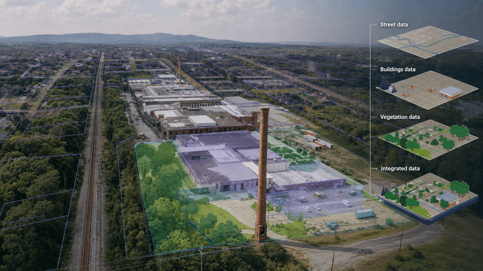
Investment Decision
So the relevant factors become broader than zoning, location, financial return, and environmental risk. They include parcel geometry and assemblage; ownership/control; zoning and allowable use; entitlement pathway; infrastructure and utility capacity; environmental constraints; hazard exposure; mitigation requirements; engineering feasibility; regulatory approvals; stakeholder/community conditions; capital requirements; schedule; market demand; and residual uncertainty.
PLACE-BASED INVESTMENT SUPPORT
What This Looks Like in Practice
We work directly with organizations to evaluate land, reduce risk, and deploy parcel-level decision systems—across policy, infrastructure, and real estate. Each engagement uses our Land-Use Capital CycleTM to turn fragmented land data, policy constraints, and stakeholder values into workable models we call "decision infrastructure".
The GIS vs. Decision Infrastructure Paradigm:
GIS: What is where?
Spatial Analysis: What does that imply?
GeoPockets: Given those implications, what should we do next—and what evidence justifies that decision?
Decision Infrastructure:
- integrate GIS with existing systems
- structure spatial data pipelines
- build decision-support dashboards
- deploy operational workflows
Typical engagements include:
- stakeholder engagement & facilitation
- data integration & spatial analysis
- workflow design
- delivering focused project-based outcomes
Legacy or contemporary GIS platform:
- integrate your preferred systems: Google, ESRI, MapBox, GISCloud
- wrap-around dashboards: pulling from proprietary, public and third-party sources
- hand-offs to other professional teams stewarding capital decisions
- enterprise-grade decision engine
Applied Workflows
- Site-characterization, comparison, and selection
- Architectural review and entitlement systems
- Location selection for direct mail
- Flood, wildfire and habitat mitigation policy enforcement and compliance
- Parcel due-diligence and acquisition screening
- Real estate purchases, negotiations and optimization
- Environmental and infrastructure constraint analysis
- Multi-agency coordination systems
- Report writing automation for budget defense and decision support
- Field-work data collection




FRAMEWORK FOR PLACE-BASED CAPITAL ALLOCATION
LAND-USE CAPITAL CYCLETM
The map is no longer the system.
From Maps to Models: Geography is treated as an input layer rather than the final deliverable. The primary value lies in the composite scoring engines, scenario trade-off analyses, and weighting models that transform raw data into defensible rankings.
From Black-Box AI to Traceable Governance: By establishing AI as an accelerator rather than the authority, the framework addresses the critical risk in high-stakes land and conservation finance: accountability. Institutional decision-makers require transparent provenance down to the individual criterion and source layer.
From Ephemeral Projects to Reusable Assets: Capturing expert judgment as reusable decision models converts institutional knowledge—often lost during personnel turnover—into persistent organizational IP.
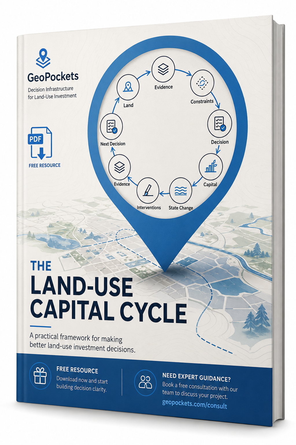
Every stage of the loop evaluates the factors needed to operationalize the Land-Use Capital Cycle™ and materially determine whether, how, when, and at what cost an investment can proceed:
- Site Geometry & Control: Parcel assemblage, ownership, title, and spatial geometry.
- Entitlements & Policy: Zoning, allowable use, and regulatory approval pathways.
- Infrastructure & Feasibility: Utility capacity, engineering constraints, and hazard exposure.
- Capital & Mitigation: Environmental remediation, community conditions, and schedule risk.
Tools & Systems
GIS & Spatial Platforms | ArcGIS (Pro, Online), QGIS, enterprise geospatial systems
Web Mapping & Application Development | React, Mapbox, Leaflet, JavaScript-based mapping interfaces
Data Integration & Spatial ETL | Multi-source data pipelines, spatial processing, and transformation workflows
Analytics & Decision Support | R, Shiny, data visualization, and applied analysis for land and infrastructure decisions
Field & Mobile Data Collection | GPS-enabled workflows, inspection tools, and real-time data capture
Cloud & Deployment Environments | Cloud-based GIS platforms, web services, and distributed system architectures
TRYING TO MOVE A PROJECT FORWARD?
SELECTED EXPERIENCE
- $20M+ Portfolio Optimization: Engineered spatial decision models that narrowed 30 candidate land acquisitions into a defensible shortlist guiding capital deployment.
- 650+ Cross-Sector Stakeholders Engaged: Led discovery, UX, and workflow validation for a 5-state, 3-tool decision platform supporting coastal restoration.
- <90-Day Enterprise Platform Delivery: Demonstrated rapid AI-assisted engineering and modular service architecture, deploying production-grade spatial engines for ~$20K.
- Structure-Centric Wildfire Risk Governance: Architected parcel-overlap registries and HIZ hazard models for mountain property risk management.
Find a Relevant Case Study for Your Project
We'll surface the GeoPockets engagement most like yours. This interactive case study finder is coming soon.
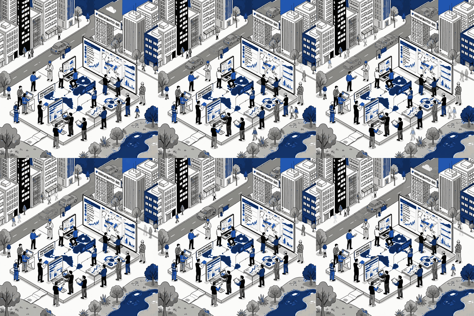
Ready for help with your geospatial innovations?
If your team is navigating risk, compliance, or large-scale land strategy
—we can help.
- Execution support
- Real map examples
- No commitment
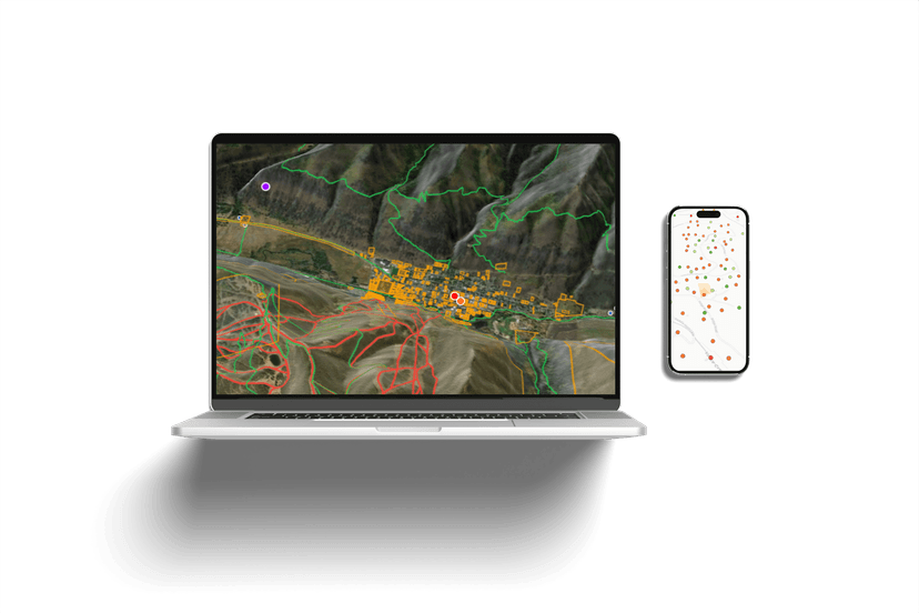
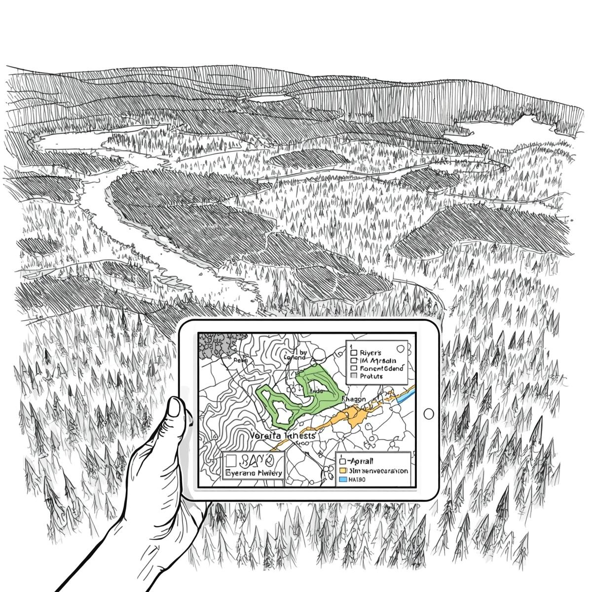
DESIGN
Spatial intelligence, clarity, and deep decision context.
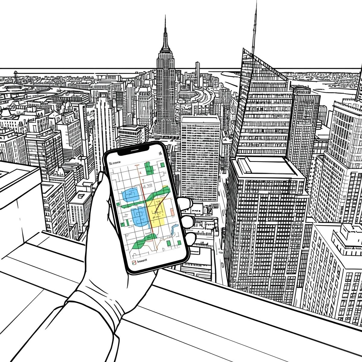
DEPLOY
Operational workflows that connect map services, workspace APIs, and reporting.
SUPPORT
From prototype architecture to production deployment, we design and deliver the geospatial systems organizations depend on.