Expanding Horizons / Public Pocket Study / Concept 01
A neighborhood, connected.
What could this place become?
About this concept and the path to a Plan
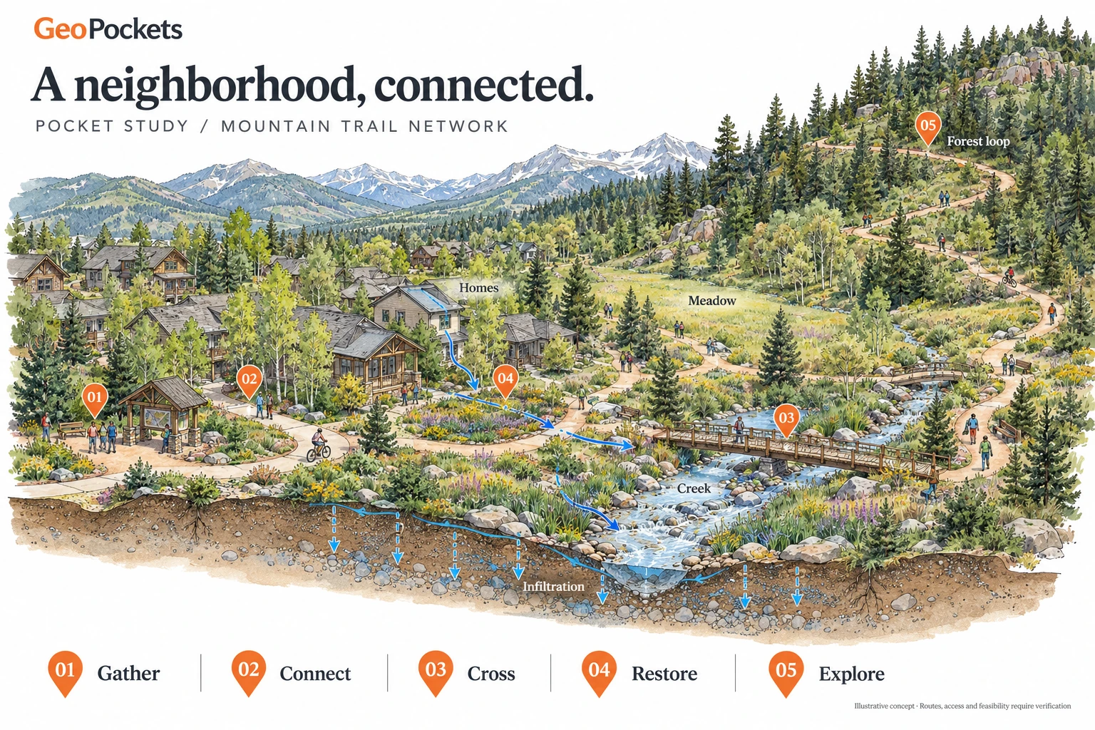
This original illustration explores how trails, homes, water and shared places could work together. It is inspired by the trail-pilot workflow, without copying private client maps or implying this is Ski Ranches geography.
Artwork: OpenAI image generation, GeoPockets owner-directed concept, 2026-10-30. The generated lettering is part of the concept artwork; the site header, interactive index and details use selectable text. Pins identify illustration subjects, not geographic coordinates.
A Pocket Study explores possibilities. A private Pocket Plan would develop a chosen direction with source-linked geometry, field review, supported quantities, costs, responsibilities and approvals. Those inputs remain open here. This web concept is not a validated 18 × 24 print edition.
Explore the existing Trails Network Study →